|
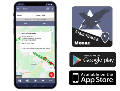
1. Download the StreetEagle Mobile App for Apple or Android devices.
2. Select your device type
3. Once the StreetEagle Mobile App is downloaded, lauch the app and login with the demo account
|
Username:
|
guest
|
|
Password:
|
guest
|
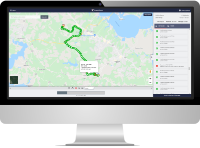
4. This demo account contains a fleet of vehicles, each with a different service plan to demonstrate the features and tracking capabilities included.
|